Hidden in plain sight, this unassuming road holds a secret history that shaped Portland and even the Olympics!
The Neighborhood
It’s a beautiful day in this neighborhood,
A beautiful day for a neighbor.
Would you be mine?
Could you be mine……
Opening Theme Song to Mr. Roger’s Neighborhood
Today’s blog post is brought to you by the Letter T, for Terwilliger.
Why the references to Mr. Rogers Neighborhood and Sesame Street? Well, because much like Public Broadcast TV shows of our childhood, today’s post is going to feature a lot of history, is going to be educational and very local. Actually, hyperlocal. By that, I mean I’m going to talk about the direct neighborhood within a mile of our home.
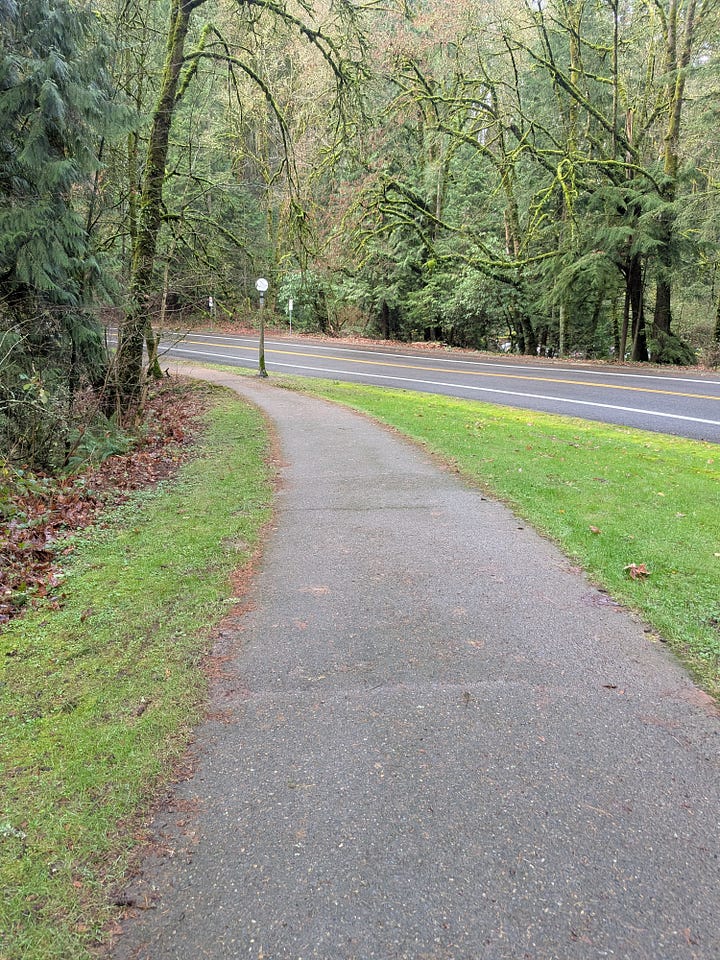
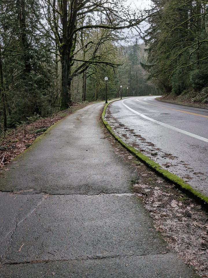
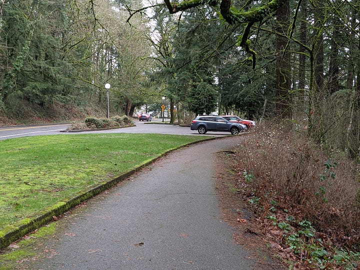
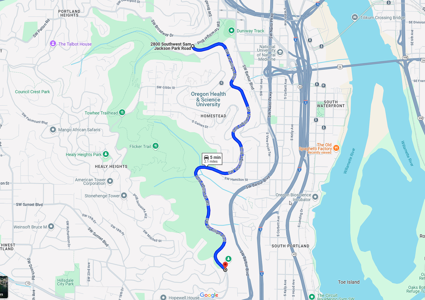
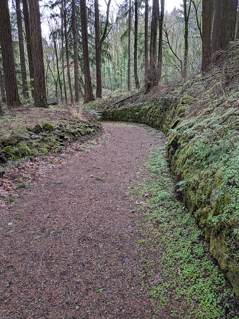
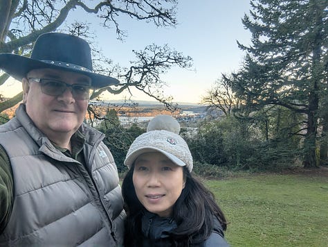
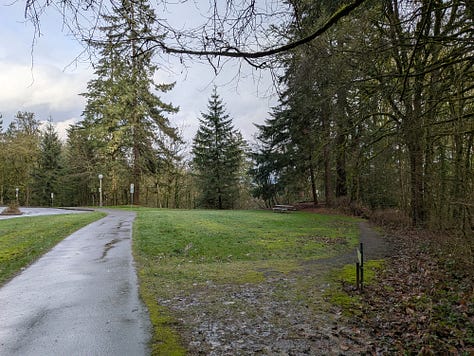
Kay and I love exercising along the walking path next to Terwilliger Blvd. on the Southwest side of Portland along the bluffs overlooking the Willamette River. Its 8-ft wide, asphalted, even path is a couple minute walk from our home, making for a perfect walking platform year-round. Additionally, the path is lit at night by 100+ year old lampposts every couple hundred feet. While we live a couple hundred yards from the trail, for those that might want to walk it from other parts of town there are also many pullouts with 2-hour parking along its 2-mile length.
Getting some Exercise
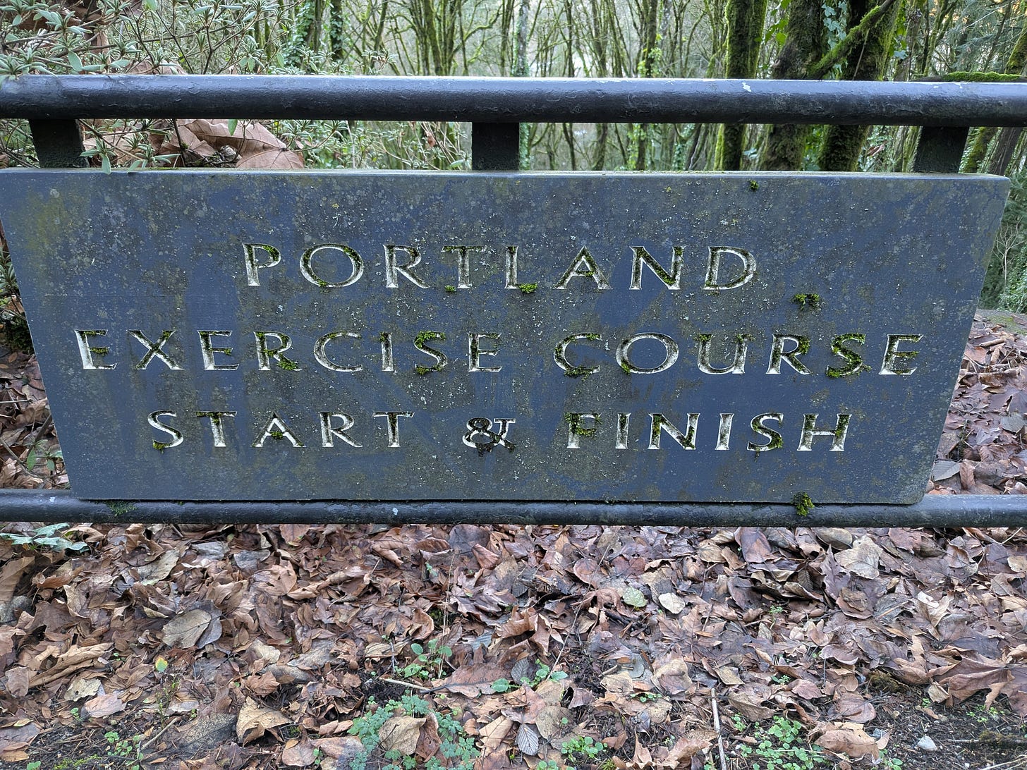
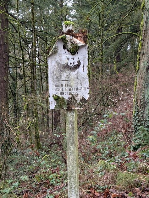
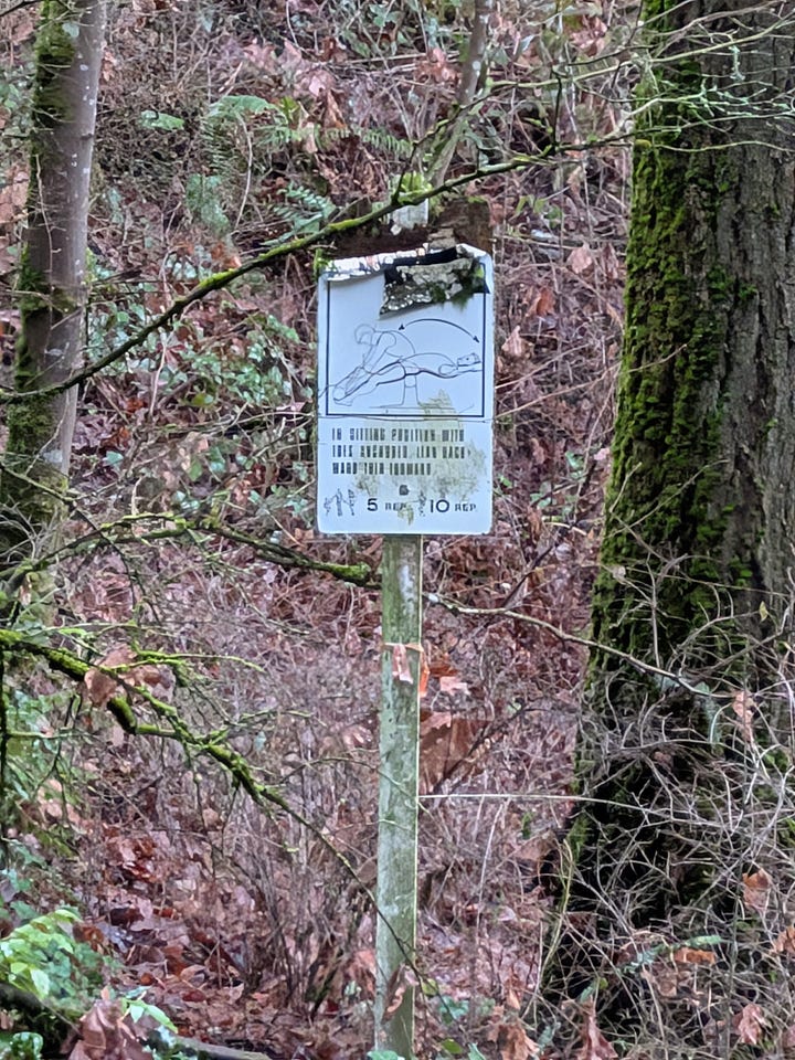
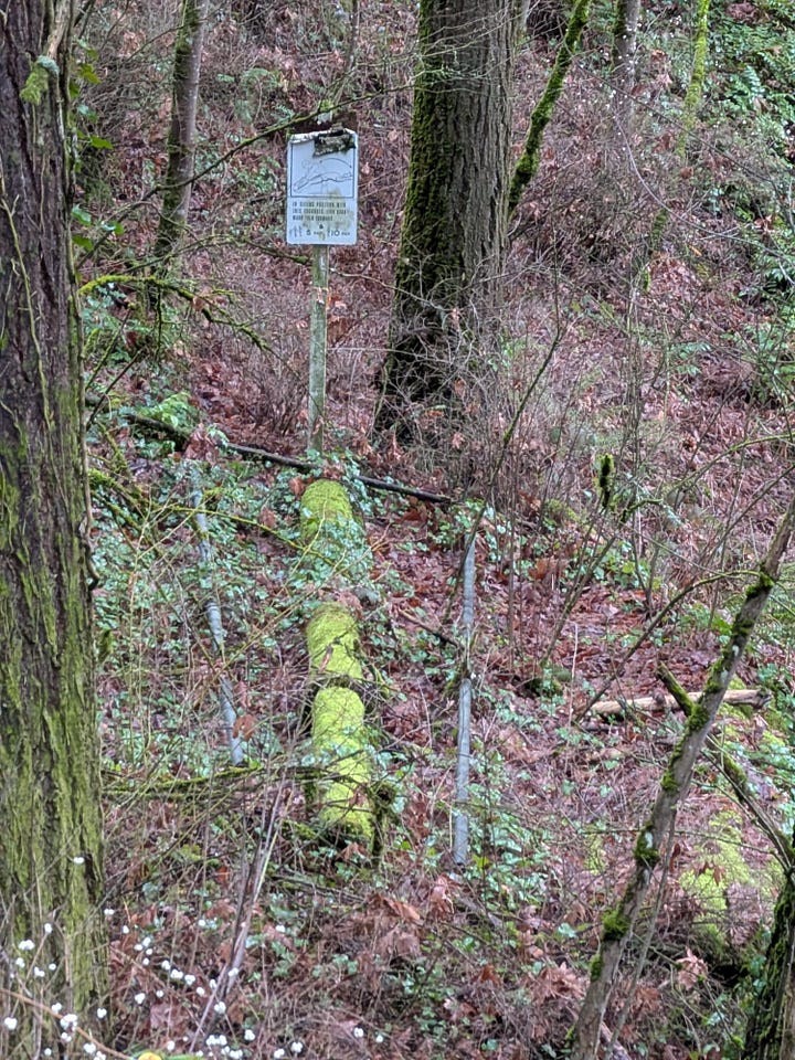
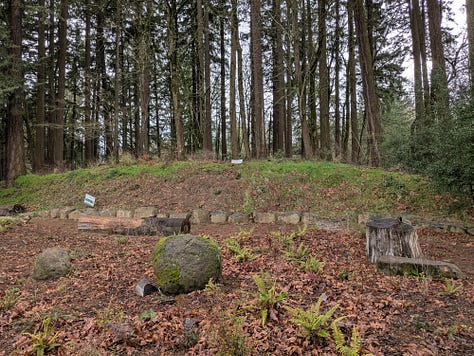
Since moving to Portland and when walking this trail for the past approximately 1 1/2 years, for the most part it seemed like just another road. Beautiful, but nothing “to write home about”. Then, one day maybe a year ago I noticed a sign alongside the path that said Portland Exercise Course Start & Finish. I started doing some research into the course to learn that while it has become quite decayed and overgrown these days, it had quite the history in the 70s and 80s.
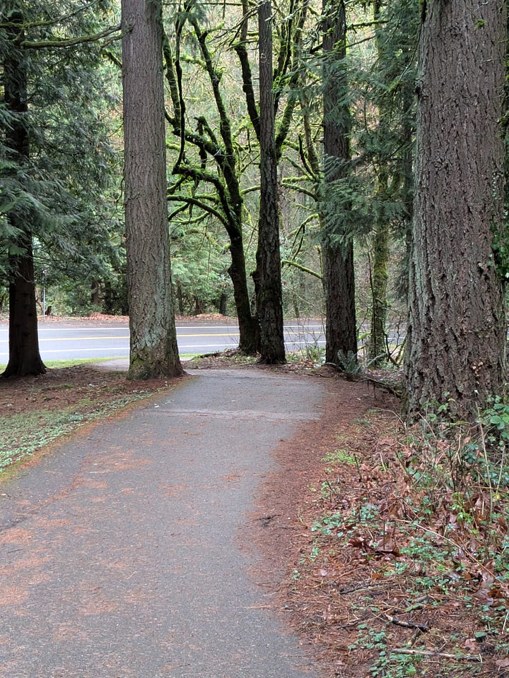
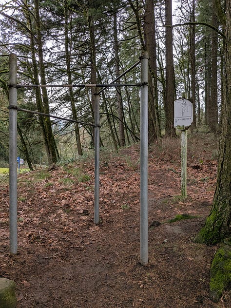
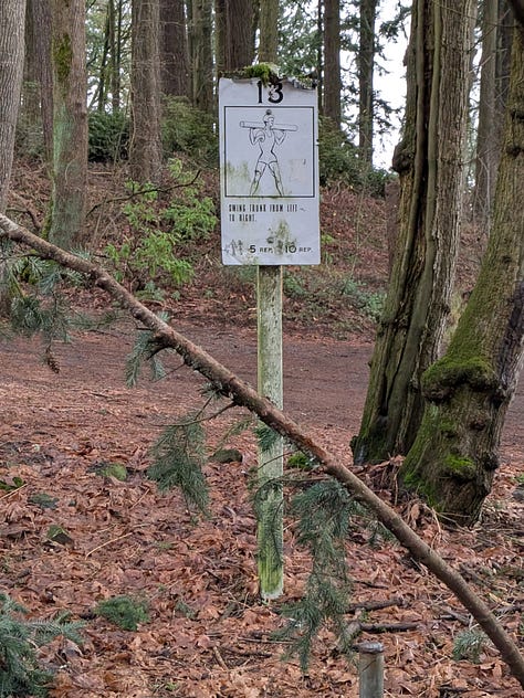
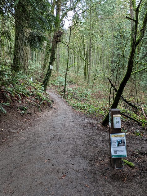
As I continued to walk along the trail, I noticed more and more of the exercise stations scattered throughout the woods, mere feet from the path. I discovered that many of these stations also served as geocaches.
With all of this in mind I thought I might write an article about the Exercise Course itself, so I started researching it even further. During that research I was even more surprised to discover that Terwilliger Blvd. was a major part of the course for the Cascade Run Off, an internationally famous 15k road race that has runners from all over the world gathering in Portland to head up Terwilleger Blvd. then back down Barbur Blvd in a large loop through Southwest Portland. In 1981, the race completely changed sports history when the winners accepted prize money, challenging and defying the concept of “amateurs” competing in the Olympics. This single event ended up being a key contributor and catalyst to the breaking down of barriers for professional athletes of all sports participating in the Olympics going forward.
As my research on the road continued, what ended up happening, and what will become the conversation for the rest of this post, is that I started to learn that the story was much bigger than the Exercise Course and the road itself, with its several other attractions, was the star of the story.
A story with a deep history…
Portland’s Founding
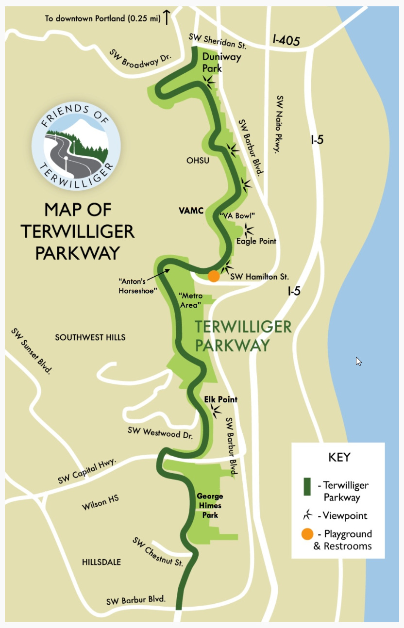
While Terwilliger Blvd. starts in downtown Portland near Portland State University (PSU) and runs south for several miles to end at Taylors Ferry in South Burlingame, the real story of the roadway comes from the elevated 2-mile stretch that runs along the eastern side of the Marquam Nature Park.
In 1903, when John Charles Olmsted, an architect for the city of Portland, provided his three plans for parkways to the Portland Park Commissioners, the only one that eventually ended up getting built was along Terwilliger Blvd, named after Portland’s first English-speaking resident, James Terwilliger. The work on the parkway started in 1909, its opening day dedication occurred August 4, 1914, and it was finally paved in concrete in 1917. In 2021 the road was added to the National Register of Historic Places, primarily due to the efforts of The Friends of Terwilliger, a:
501-c (3) non-profit organization dedicated to protecting and enhancing the historic and scenic beauty of “Historic” Terwilliger Parkway; a tree-lined linear park in SW Portland over 100 years old.
Oh, and much like Olmsted named the road after a Portland pioneer, Matt Groening, creator of the Simpsons, named Sideshow Bob Terwilliger after this road.
Sites Along the Path
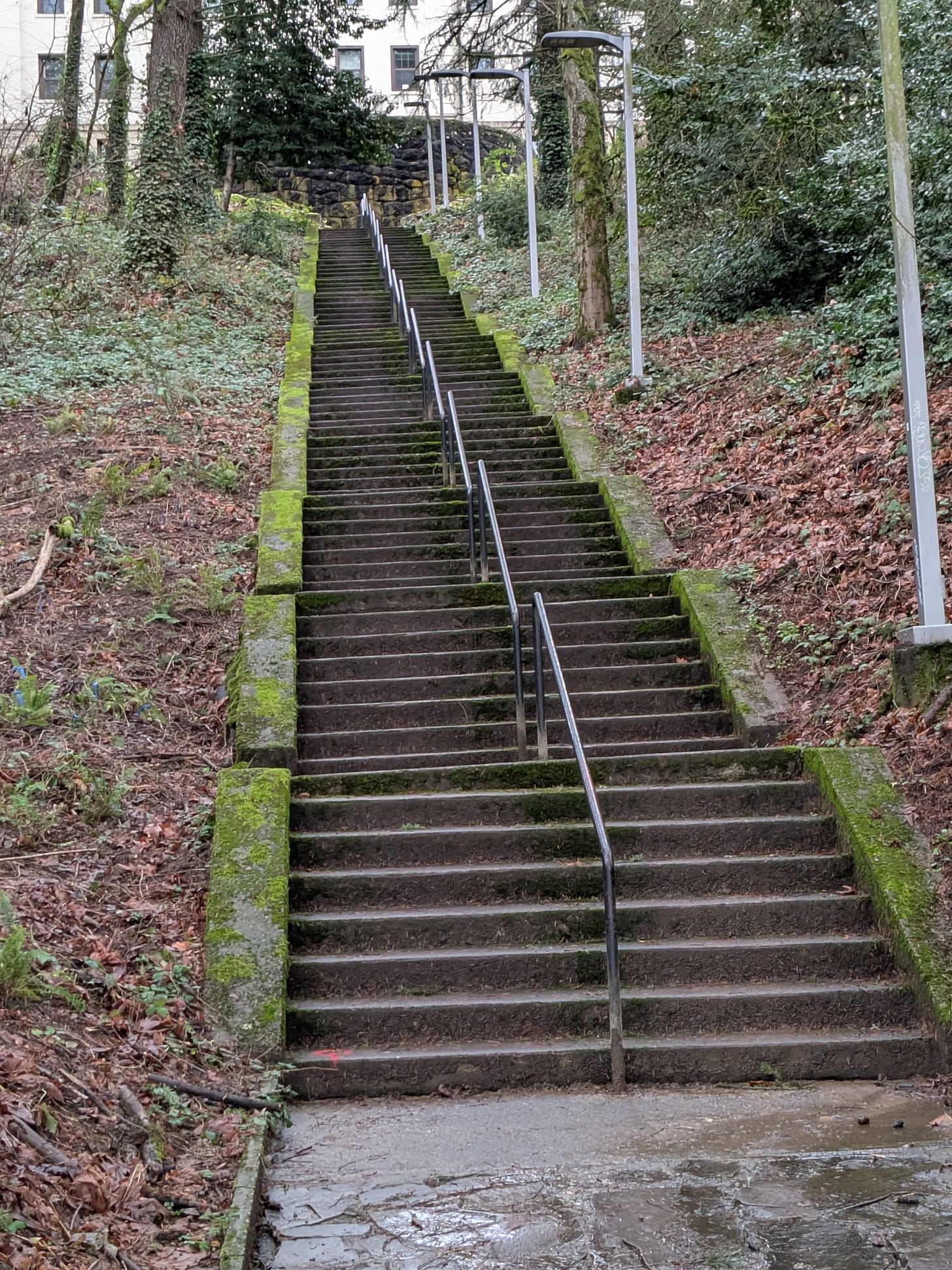
The roadway’s most interesting section begins from around the halfway point where the steps lead up to the VA hospital that resides on the West side of Terwilliger. Quite the workout for anyone brave enough to run up and down them.
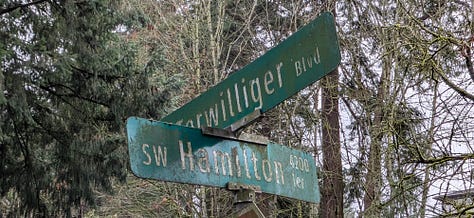
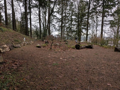
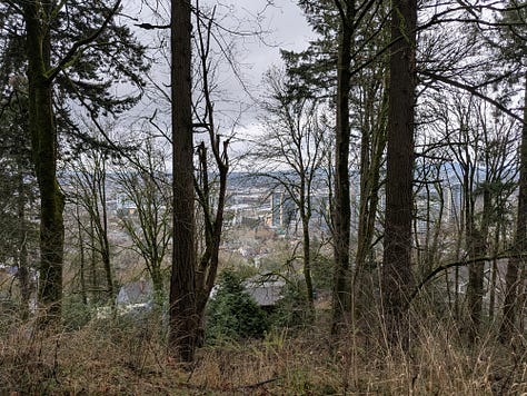
As travelers head south, they quickly come across Eagle Point. At the corner of Terwilliger and Hamilton a road leads off to an outcropping that was included in the original design as a vista. In 2014, the land was purchased by the city and finally back in the public’s hands and the dream to incorporate a lookout could be realized. However, unless one zooms in through the overgrown forest it’s hard these days to clearly see much of the city or distant mountains from here in an unobstructed fashion, as the trees have been allowed to run wild.
The Totem Pole
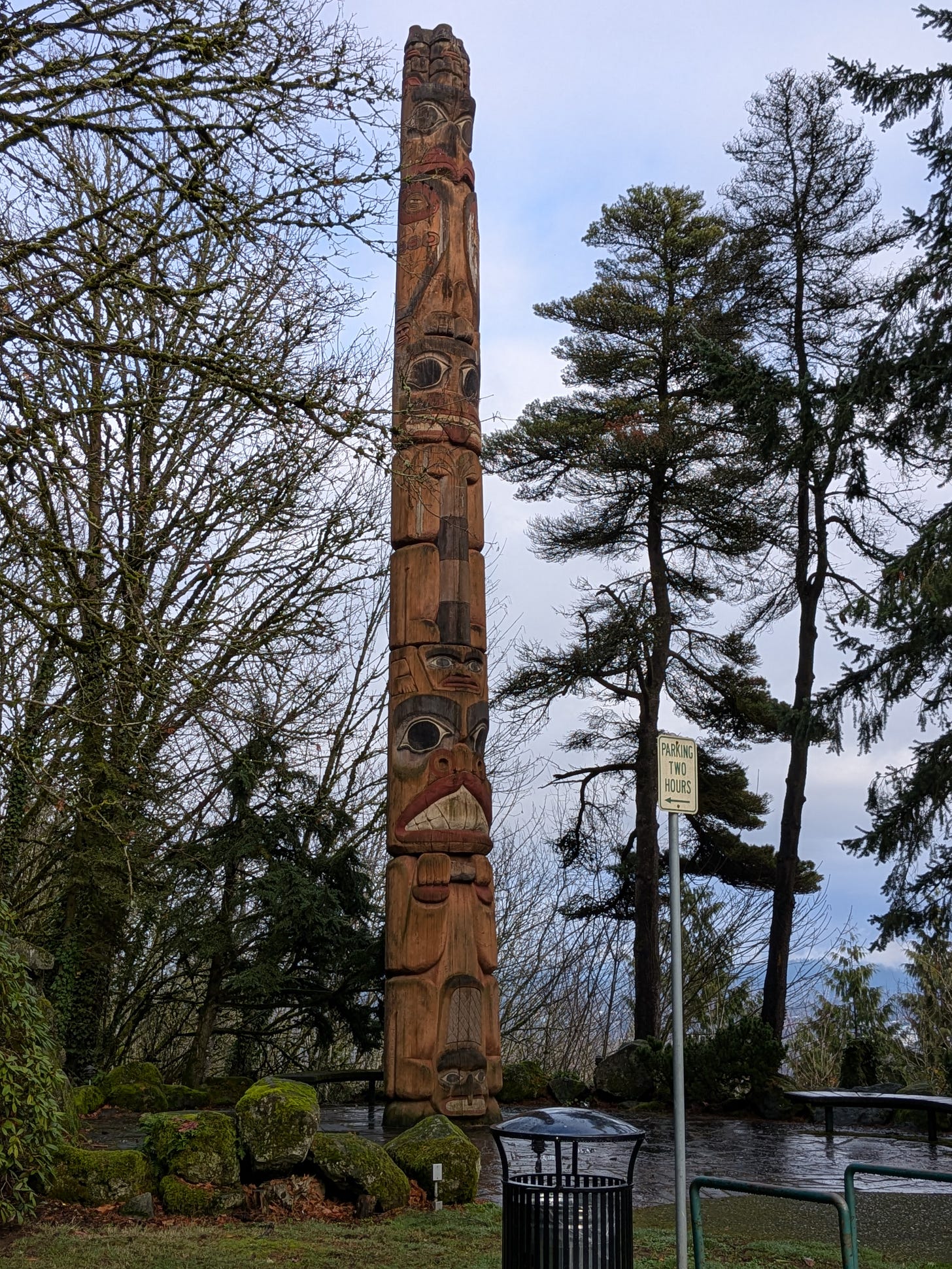
At the southern end of the trail before crossing the SW Capital Hwy (Hwy 10), there sits a massive 50-foot tall, 4-ft wide totem. Originally built in 1959 for the 100th anniversary of the city’s founding, the totem was the work of Chief Lalooska. Carved from a Red Cedar near Mount Adams, the totem is the largest known example of its kind.
Purportedly, President Kennedy visited the site during one of his visits to Portland.
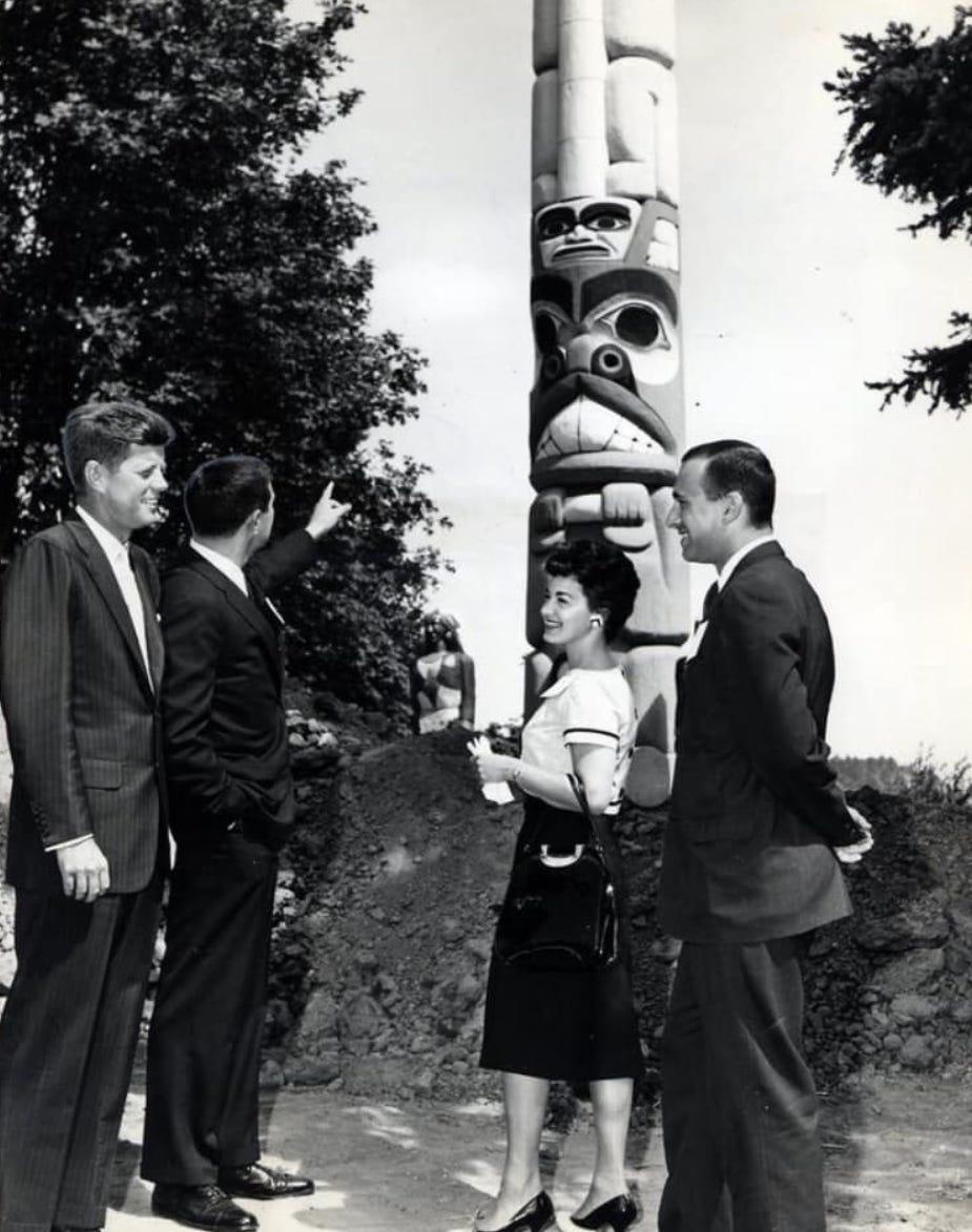
However, I believe based on his schedule, it’s far more likely that “Candidate” Kennedy is who is pictured above during one of his pre-election visits in 1958-1960. Still, pretty cool.
It reportedly has a gas burner at the top, for “special occasions” though it likely hasn't been used in decades.
The Restaurant
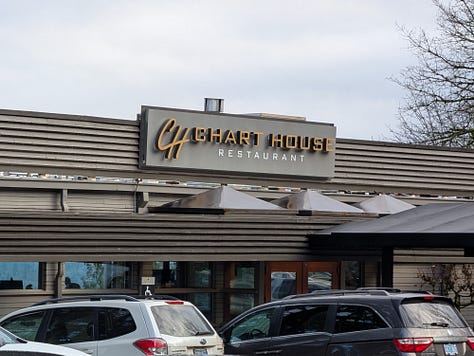
The totem sits on a little outcropping next to the Chart House restaurant. Prior to the Chart House arriving in 1985, there were a series of restaurants on the spot called Elk Point Lookout, including the original Simmons Hillvilla, which opened in 1921. The building styles changed throughout the years until settling on the current overall design in the 50’s seen in the postcard below.
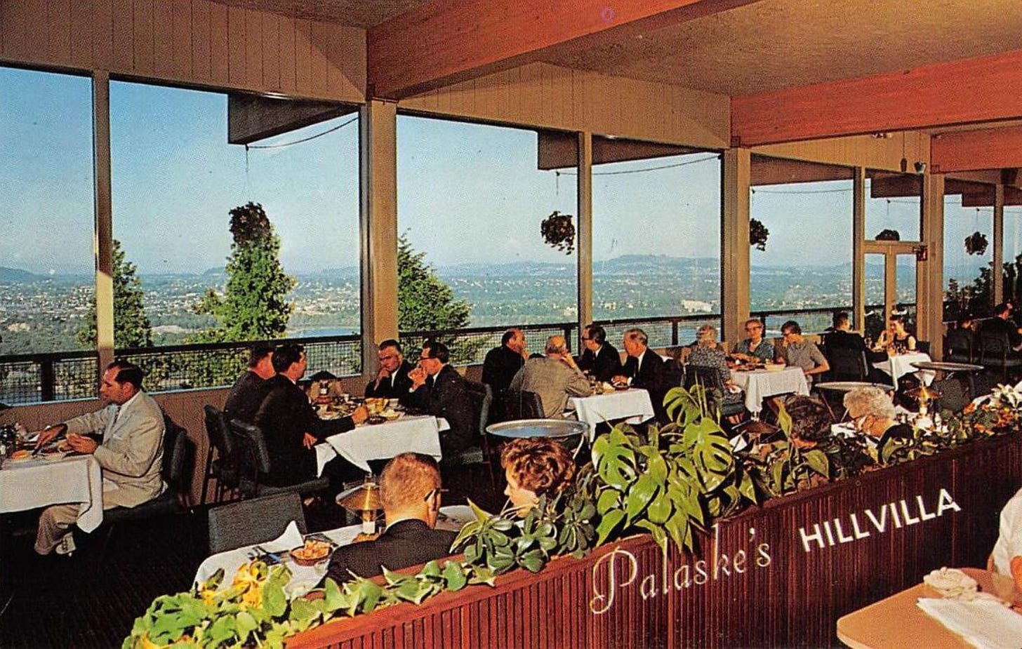
In 1985, the Landry's chain bought the property and renovated it into the current Chart House. There are still patrons who remember and post about visiting Hillvilla.
Unlike this author, I don’t agree that “If you have to ask, you can’t afford it”. The Chart House has excellent food and cocktails at very reasonable prices. And, if you show up during Happy Hour, they have a number of $6-12 specials such as their ahi nachos, firecracker shrimp (for Kay, not me) and grilled fish tacos, accompanied by a spicy cucumber vodka-based cocktail that is outstanding.
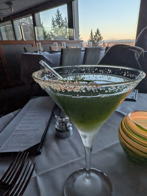

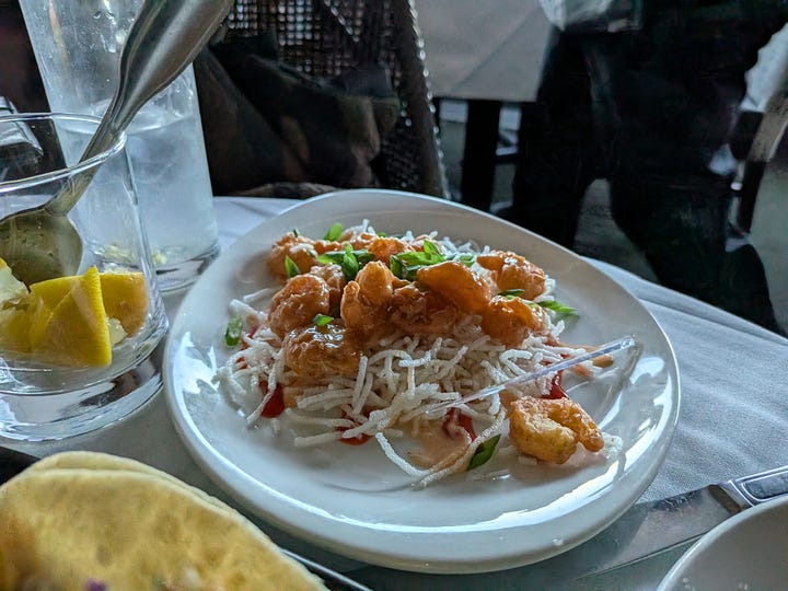

I personally like to time my afternoon walks to get there at the beginning of Happy Hour for a quick snack, or a light dinner, before heading back the 30-minute walk to home.
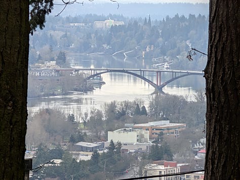
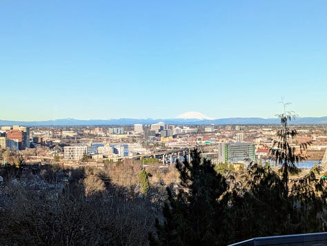
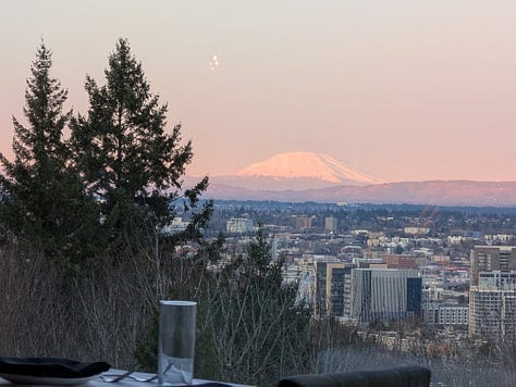
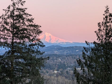
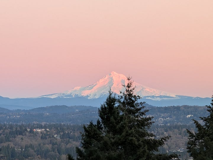
And what a lovely walk it is. With views of Mt Hood and Mt St Helens, the Willamette River, Sellwood Bridge and downtown Portland, there is always something to see.
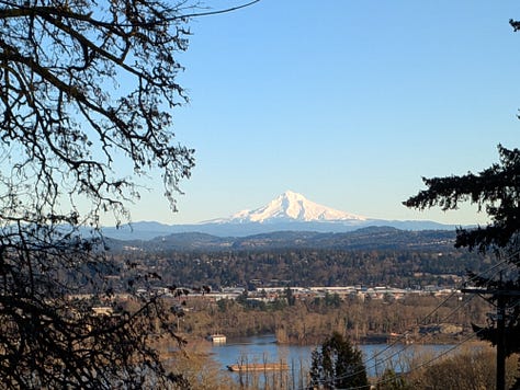
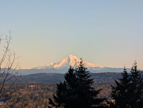

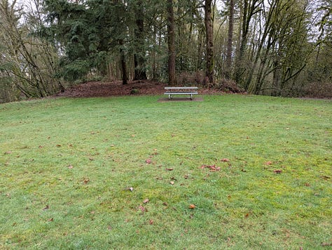
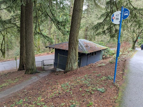
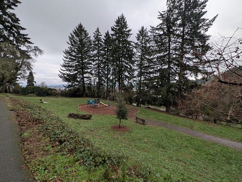
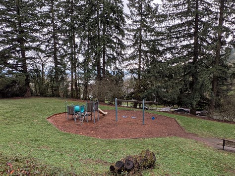
In addition to incredible views of the mountains, there are several small parks and play areas as well as a public restroom (referred to as I believe a “comfort station” in one of the historical articles I read) and hardpacked dirt trails all over the hills.
It's amazing how much history can be found right in our own backyard. While there are many other stories to tell about this historic roadway, I'll save those for the reader to discover on their own as I continue to explore the rest of the Northwest, in an effort to address my curiosity and wonder of both the manmade and natural worlds that surround us in this wonderous part of this great country.